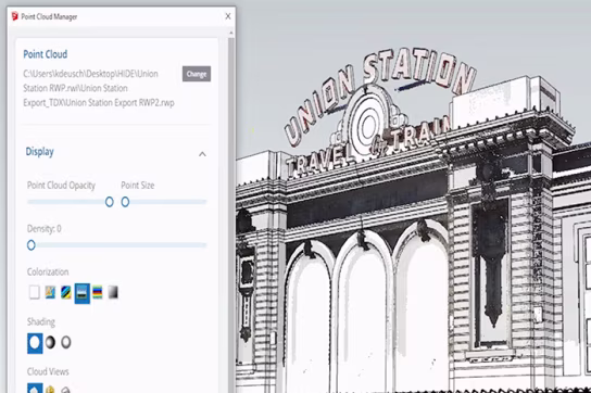
Point Cloud Manager
Adjust point cloud opacity, color, and shape for better visibility while toggling data segments such as vegetation or buildings on or off.
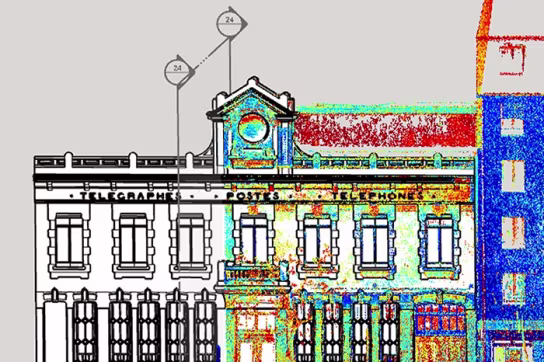
Eliminate guesswork with a more accurate blueprint of your existing job site.
Go from as-is scan data to 3D proposal quicker than ever before.
Turn complex, large scan datasets into a usable 3D model.
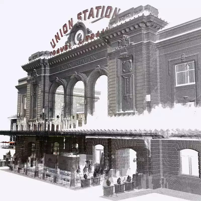

Import and view point clouds from terrestrial scans, photogrammetry, lidar sensors, mobile mapping, and drone data.

Work smoothly with a variety of file formats, including RWP, LAS/LAZ, TZF, PLY, and E57.

Adjust your point cloud with ease by moving and aligning scan data directly to your 3D model.

Verify the accuracy of your 3D models by quickly spotting any missing or incorrect details.

Improve how your point clouds appear with multiple color and blending options.

Keep your workflow fast and responsive, even when handling large and complex point cloud datasets.
Adjust point cloud opacity, color, and shape for better visibility while toggling data segments such as vegetation or buildings on or off.
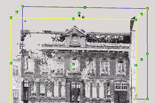
Isolate and focus on meaningful portions of your 3D scan project without eliminating point cloud data.
Showcase multiple scenes and active section planes for precise modeling and presentation.
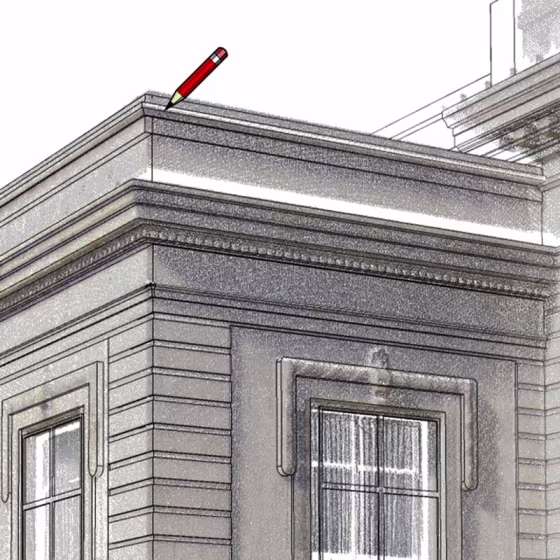
Draw and snap directly onto your point cloud using SketchUp’s native toolbox and accurately translate your point cloud into a 3D model. Lock onto a single plane for added modeling precision.